Chinese scientist pinpoints source of Africa's second-longest river

BEIJING -- A Chinese scientist has used satellite remote-sensing technology to pinpoint the source of Africa's second-longest river, the Congo River, and measured its length at 5,260 kilometers, longer than previous estimates.
The Congo River, second only to the Nile in Africa, boasts exceptionally abundant water resources. Since the early 19th century, explorers and geographers have made multiple expeditions to the Congo River and its source region.
Although the Chambeshi River in Zambia was identified as the uppermost source, the precise location of the river's origin remained disputed, and documented lengths varied widely across literature, ranging between 4,320 and 4,700 kilometers, according to Liu Shaochuang, a researcher from the Aerospace Information Research Institute of the Chinese Academy of Sciences.
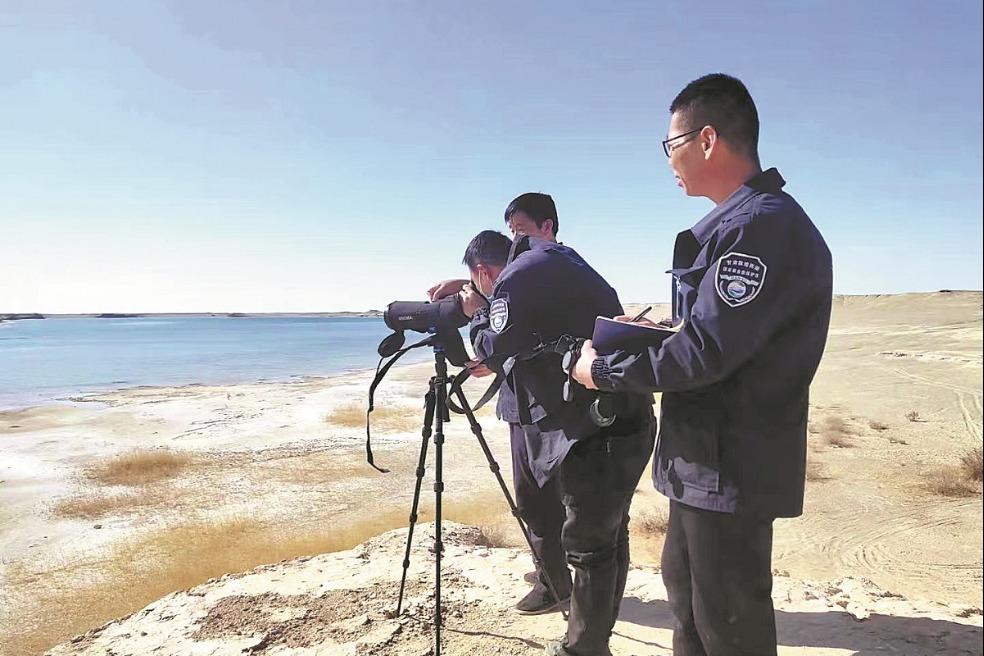
To accurately determine the source and length of the river, Liu analyzed satellite remote-sensing images of the Congo River and its tributaries and conducted two on-site investigations in the source area. He finally determined that the river's source is located at 31.22 degrees east longitude and 9.19 degrees south latitude, with an elevation of 1,771 meters.
Human survival depends on rivers. As a Chinese proverb states, "When drinking water, one should remember the source" -- a philosophy that drives Liu's quest to pinpoint the origins of the world's major rivers.
"Different literature often cites conflicting lengths for the same river, sometimes differing by hundreds or even thousands of kilometers. Key factors affecting measurements include the source's location, data sources and measurement methods," said Liu.
"In the past, outdated techniques and reliance on traditions or legends shaped our understanding of river sources. With advancing technology, we must apply modern standards to redefine these sources and update river length data," he said.
Liu believes satellite remote-sensing is the most effective tool for identifying river sources and measuring lengths, as it provides comprehensive coverage of entire basins.
Internationally, the principle of "the farthest tributary with perennial flow" governs source determination. Using this approach, Liu has combined satellite imagery with field surveys to redefine the sources of over 20 major global rivers, including the Yangtze River, the Yellow River, the Nile and the Amazon.
- Firefighters rescue 82-year-old man who went missing in deep mountains
- New measures boost Guangzhou airport development
- Square-faced monkey passes away at Hefei wildlife park
- China boasts over 900 integrated juvenile tribunals
- Two landslides trap people in Guizhou province
- Coal mine collapse in Sichuan leads to four dead


